Your Neighbourhood

It can be challenging to identify what Electoral Area or Municipality you live in - especially when you are new to the area! Enter your address to see which RDNO member community your property is in.

Tip: The search works with abbreviations for roadways. For example, Road should be rd, Street should be st, Drive should be dr, and Avenue should be ave.

Community Populations (2021 Census)
 

Community Population
City of Armstrong 5,323
District of Coldstream 11,171
City of Enderby 3,028
Village of Lumby 2,063
Township of Spallumcheen 5,307
City of Vernon 44,519
Electoral Area B 3,274
Electoral Area C 4,511
Electoral Area D 2,909
Electoral Area E 1,092
Electoral Area F 4,362

Electoral Area

Area B (Swan Lake / Commonage)

Electoral Area

Electoral Area “B” is located in the western part of the Regional District. Area “B” is comprised mostly of Crown Land and First Nations Land surrounding Okanagan Lake with agricultural large holdings making up the balance.

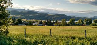
A view of the BX Ranchlands in the fall

Area C (BX / SilverStar)

Electoral Area

Electoral Area “C” is located in the center part of the Regional District of North Okanagan. Communities within Area "C" include Silver Star Mountain and the historic BX Area. 

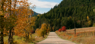
Fall in Rural Lumby

Area D (Rural Lumby)

Electoral Area

Electoral Area "D" is located in the south western part of the Regional District. Communities within Area "D" include Trinity Valley and Creighton Valley.

Area E (Cherryville)

Electoral Area

Electoral Area “E” is located in the eastern part of the Regional District. Communities within Area “E” include Cherryville and Creighton Valley.

Mara Area F Shuswap Rive

Area F (Rural Enderby)

Electoral Area

Electoral Area “F” is located in the northern part of the Regional District. Communities within Area "F" include Grindrod, Grandview Bench, Ashton Creek, Kingfisher / Mabel Lake and Mara.

Municipality

An autumn picture of a street in Armstrong

City of Armstrong

Municipality

The City of Armstrong is located in the north west part of the Regional District. It is surrounded by the Township of Spallumcheen approximately half way between Enderby and the City of Vernon.

District of Coldstream

Municipality

The District of Coldstream is located in the south west part of the Regional District. It is situated on the eastern border of the City of Vernon surrounded by Electoral Areas “B”, “C” and “D”.

City of Enderby

Municipality

The City of Enderby is located in the north west part of the Regional District. It is surrounded by Electoral Area “F” north of Armstrong and south of Grindrod.

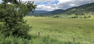
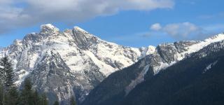
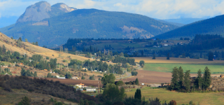
View of the valley and monashee mountains

Village of Lumby

Municipality

The Village of Lumby is located in the center of the Regional District. It is surrounded by Electoral Area “D” half way between Coldstream and Cherryville.

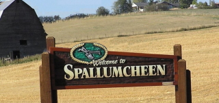
farm in Spallumcheen

Township of Spallumcheen

Municipality

The Township of Spallumcheen is located on the western boundary of the Regional District. It is approximately half way between the City of Enderby and the City of Vernon.

sunset over Vernon - photo credit Evan Hodson Photography

City of Vernon

Municipality

Image