Trails & Natural Spaces

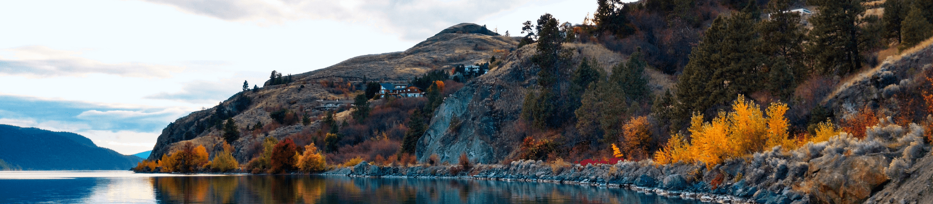
Greater Vernon — Trails Capital of BC, features over 50.5 km of trails that connect our communities through forests, natural spaces, meadows, and hills. There are various levels of difficulty to choose from, so walkers, hikers, and cyclists alike are able to find an adventure that suits them.

See below for a list of RDNO trails, or visit the Ribbons of Green website for a complete list of trails in the region. 

Trail Safety Tips

  • Head out with a partner. The companionship is fun and you can encourage one another!
  • Be prepared. Check out AdventureSmart for planning tips.  
  • Stay on the designated trail. Keeping to the trail helps preserve our natural areas.
  • Be WildSafe. Visit WildSafeBC for tips on how to "reduce wildlife conflicts where we play".

The Ribbons of Green Trails Society also offers an interactive map for the Greater Vernon Area. 

For information on trails & natural spaces found in other jurisdictions, please contact: 

Explore the unique trail that follows BX Creek, where the water flows from the mountains to the valley bottom. This trail currently has two sections: 

The BX Falls section has several bridge crossings and steep stairs but is suitable for…

The BX Ranch Trail is a 2.25 km multi-use trail that wraps around the former BX Ranch farmlands, passing Mutrie Dog Park and ending at BX Ranch Dog Park. Access can be seen from 4122 East Vernon Road.  Dogs are permitted in this area on leash only. …

Address: 7426 Crane Rd, Vernon

Crane Road Park is an undeveloped natural space that runs along Swan Lake. The future development of this park will be determined by the Greater Vernon Trails & Natural Spaces Master Plan. 

Goose Lake Range is 46 Hectare undeveloped natural space on the north end of Goose Lake. Long-term planning for this area will be determined by the Greater Vernon Trails & Natural Spaces Master Plan, and will include an extension of the Grey Canal…

The Grey Canal Trail follows along British Columbia's longest irrigation channel that once sustained orchards and agricultural plots throughout the valley.  It follows the alignment of the old canal, and at certain sections the pipelines can still be…

The Kal/Crystal Waters Trail is located on the western slopes above Kalamalka Lake running from Okanagan College in Coldstream to Crystal Waters Rd. in Lake Country.

Multiple access points are available along 12.5km of trail and it follows the…

Contact(s)

communityservices@rdno.ca
250-550-3700